Oxfordshire-based Open Cosmos (
www.open-cosmos.com), a satellite solutions provider with a facility in Didcot, will lead construction of the Mission and Agile Nanosatellite for Terrestrial Imagery Services (MANTIS) satellite, which will help energy and mining businesses to identify new resources.
Searching for natural resources can be a costly and hazardous exercise, often carried out in remote areas of the world.
High-resolution images of terrain taken by the MANTIS satellite and refined through novel data analysis will mean that prospectors can view Earth geology remotely; this will reduce cost and risk — and help them to make more informed decisions.
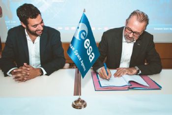
The demonstration project is co-funded by industry and the UK Space Agency through its investment in the European Space Agency’s InCubed Programme, which aims to support the commercialisation of innovative projects related to Earth Observation.
Beth Greenaway, head of Earth Observation for the UK Space Agency, said: “Observations of the Earth from space are central to modern-day life, helping us to monitor climate change, map our environment, forecast the weather — and now find new resources.
"The UK is a world leader in Earth Observation technology, and we hope to maintain our momentum at the European Space Agency Council of Ministers in November, where we will be re-affirming our ESA membership.”
London-based Terrabotics will provide the data analytics service, and the high-resolution camera will be supplied by Spain-based Satlantis.
Open Cosmos founder and CEO Rafel Jordá Siquier said: “This project shows that bringing together the best specialists in their fields — in this case Open Cosmos, Satlantis and Terrabotics — leads to great technical performance improvements of Earth Observation platforms, while at the same time significantly reducing the time to orbit, complexity and cost of these systems.”