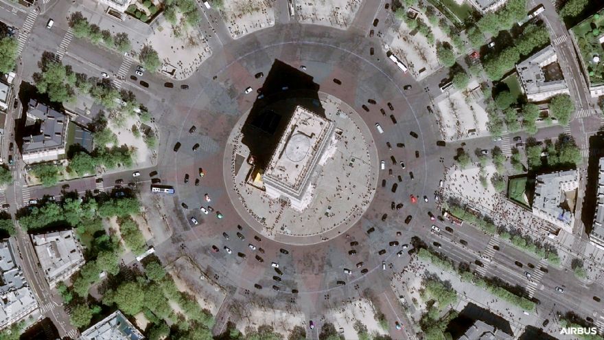
 Arc de Triomphe. Copyright AirbusAirbus
 has launched the Pléiades Neo Next programme to expand its very high resolution Earth observation constellation. This new programme will result in new satellite assets and capabilities, including enhanced native resolution. As a first step of Pléiades Neo Next, the company is developing a new satellite which will be launched in the next few years.
Karen Florschütz, executive vice president of connected intelligence at Airbus Defence and Space, said: “The Pléiades Neo Next programme builds on the success of our existing Pléiades Neo constellation which serves government and commercial customers around the world. This new programme will further enhance our standard of excellence in terms of quality, performance, and reliability to deliver images as well as geointelligence services and applications.”
The Pléiades Neo Next programme is funded, manufactured, and operated by Airbus Defence and Space, with the full image capacity available for a wide range of sectors including defence and intelligence, agriculture, environment, maritime, disaster response, mapping, location-based services, civil engineering, urban planning and utilities.
Users will continue to be able to directly task the Airbus satellites up to 36 minutes prior to the satellite passing over an area of interest. Images will be received through the customer’s Direct Receiving Stations (DRS) on the ground, or on the OneAtlas digital platform, swiftly after collection, allowing mission-critical applications.
Working together, the Pléiades Neo and Pléiades Neo Next satellites will offer a higher revisit anywhere in the world, up to several times a day, along with the best spatial resolution and geolocation accuracy available on the market. In addition to enhanced native resolution, Pléiades Neo Next development will further improve the ground segment, the DRS and the OneAtlas platform, resulting in a higher capacity of imagery requests as well as optimising the time between request, capture and reception.
With Pléiades Neo Next, Airbus is reinforcing its Earth observation capabilities and services to remain at the forefront of geospatial technologies. The Airbus fleet includes both optical and radar satellite constellations ensuring complementarity services and applications, including various resolutions, all-weather and day and night capabilities. In parallel, Airbus is developing new capabilities based on stratospheric platforms.